
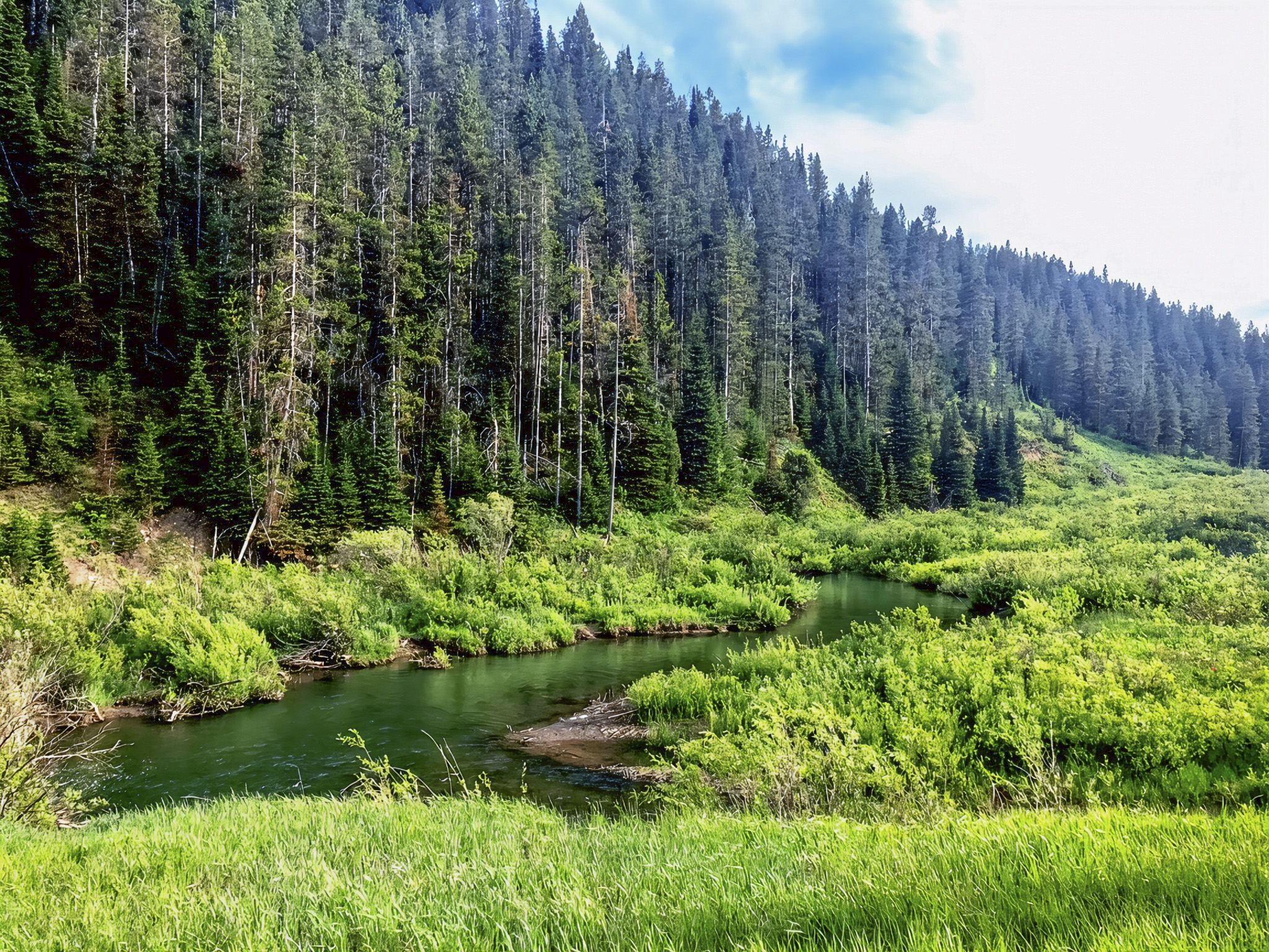
Traveling from Alpine to Hoback along US-26/US-89 offers an opportunity to explore the natural beauty of Snake River Canyon in western Wyoming. The highway follows the Snake River through a rugged mountain landscape surrounded by the Bridger-Teton National Forest. This extensive national forest covers more than 3.4 million acres and forms an important part of the Greater Yellowstone Ecosystem, one of the largest remaining relatively intact temperate ecosystems in the contiguous United States. Snake River Canyon is particularly notable for its steep forested slopes, rocky canyon walls, and river ecosystems. The section of the Snake River between the Hoback River confluence and the area near Alpine Junction is federally designated as a Recreational River under the National Wild and Scenic Rivers System, recognizing its natural and recreational importance (U.S. Forest Service [USFS], n.d.-a, 2015).
The drive between Alpine and Hoback is more than a convenient route through the mountains. It is also a popular corridor for sightseeing, fishing, camping, and river recreation. Travelers can find designated river access areas and campgrounds along the highway, including Wolf Creek Campground and other recreation sites managed by the Bridger-Teton National Forest. Taking a break beside the Snake River provides an opportunity to experience the canyon beyond the highway and appreciate its natural surroundings. Visitors should use established pullouts and designated parking areas, particularly because the highway has winding sections and limited roadside space. The river is popular for rafting, but its strong currents, cold water, and changing conditions require caution. The USFS identifies this section as a heavily visited recreation corridor with developed boating and camping facilities (USFS, 2015, n.d.-b).

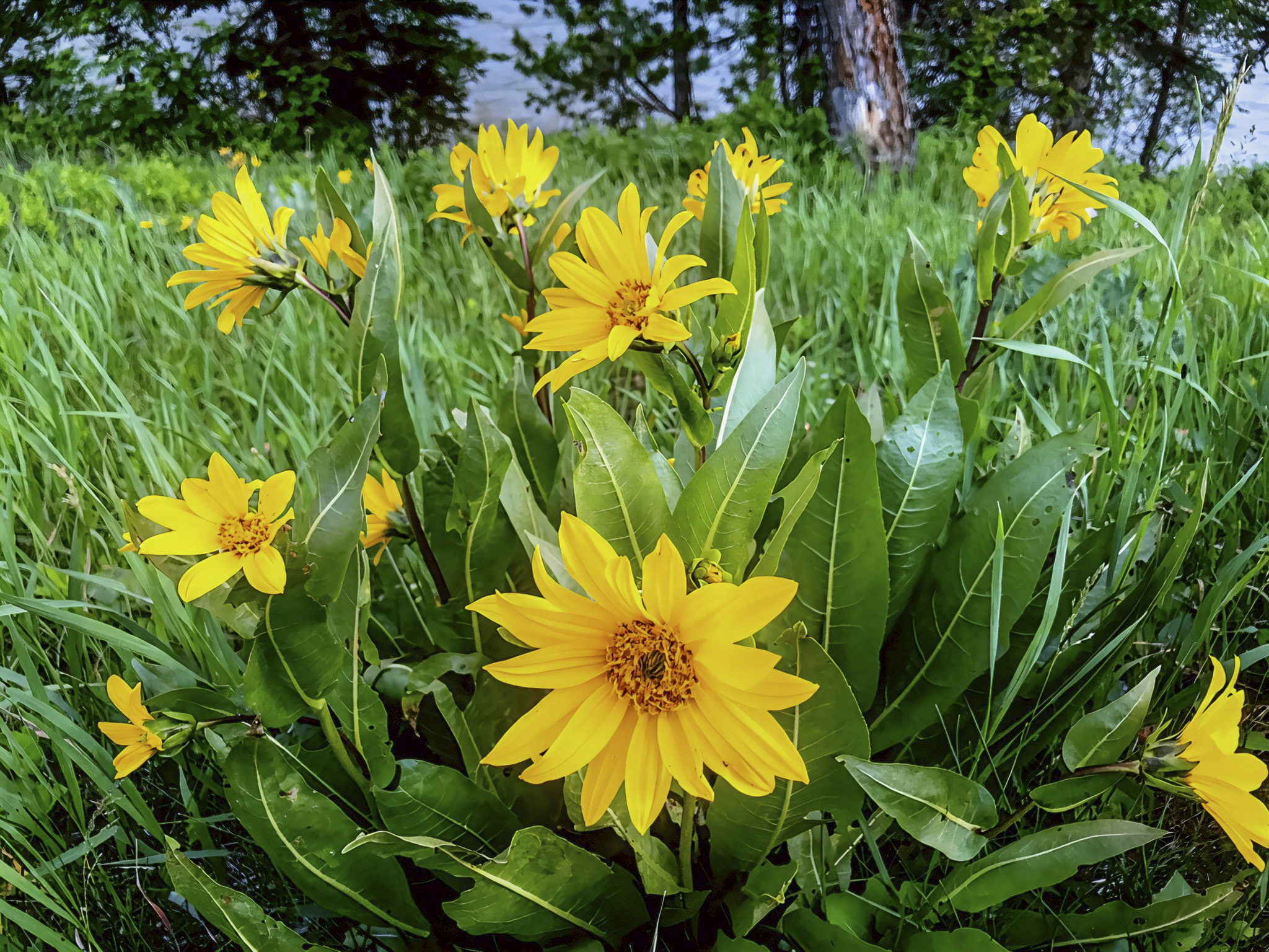
Snake River Canyon also supports a diverse mountain and riverside ecosystem. The surrounding landscape contains coniferous forests, grassy meadows, shrubs, and deciduous trees, while wetter areas near the river provide habitat for moisture-loving plants and wildlife. Native wildflowers such as arrowleaf balsamroot (Balsamorhiza sagittata) contribute to the mountain ecosystem by supplying floral resources to pollinating insects. Along the riverbanks, plants such as willows, cottonwoods, and horsetails can grow where sufficient moisture is available. These riverside habitats, known as riparian zones, are ecologically important because they provide food, shelter, nesting locations, and movement corridors for wildlife. The Snake River ecosystem supports interconnected communities of aquatic insects, fish, birds, and mammals, while its native fish include forms of cutthroat trout. These relationships demonstrate how freshwater habitats contribute to the biological diversity of the Greater Yellowstone region (National Park Service [NPS], n.d.-a; NPS, n.d.-b; USFS, n.d.-a).
The geology of Snake River Canyon adds another scientific dimension to the journey. Over long periods, flowing water and erosion have helped shape the valley, transporting sediments from surrounding mountains and depositing sand, gravel, and rounded stones along the riverbanks. These processes continue to influence the river’s channels and the surrounding habitats. The Snake River is part of a much larger drainage system originating in the Yellowstone region and eventually connecting with the Columbia River system in the Pacific Northwest. For travelers and science-lovers, a roadside rest along this corridor offers more than scenic views: it provides an opportunity to consider how geology, flowing water, vegetation, and wildlife interact to create a dynamic mountain ecosystem. Protecting riverside vegetation, minimizing disturbance to wildlife, and following established recreation guidelines help preserve the canyon’s natural character for future visitors (NPS, n.d.-b; USFS, 2015).


References
National Park Service. (n.d.-a). Discovery spot: River survival. Grand Teton National Park. https://www.nps.gov/places/discovery-spot-river-survival.htm
National Park Service. (n.d.-b). Water. Yellowstone National Park. https://www.nps.gov/yell/learn/nature/water.htm
U.S. Forest Service. (n.d.-a). Welcome to Bridger-Teton National Forest. U.S. Department of Agriculture. https://www.fs.usda.gov/detail/btnf/specialplaces/?cid=stelprdb5282295
U.S. Forest Service. (n.d.-b). Wolf Creek Campground. U.S. Department of Agriculture. https://www.fs.usda.gov/r04/bridger-teton/recreation/wolf-creek-campground
U.S. Forest Service. (2015). Bridger-Teton National Forest land and resource management plan, with corrections and amendments. U.S. Department of Agriculture. https://www.fs.usda.gov/sites/nfs/files/legacy-media/bridger-teton/Forest%20Plan%20ReaderFriendly2.pdf
AI Disclosure Statement:
Artificial intelligence tools were used in the creation of this page, including elements such as writing, image enhancement/generation, voice enhancement, and/or editing support. All final creative decisions were made by the creator.
Leave a Reply