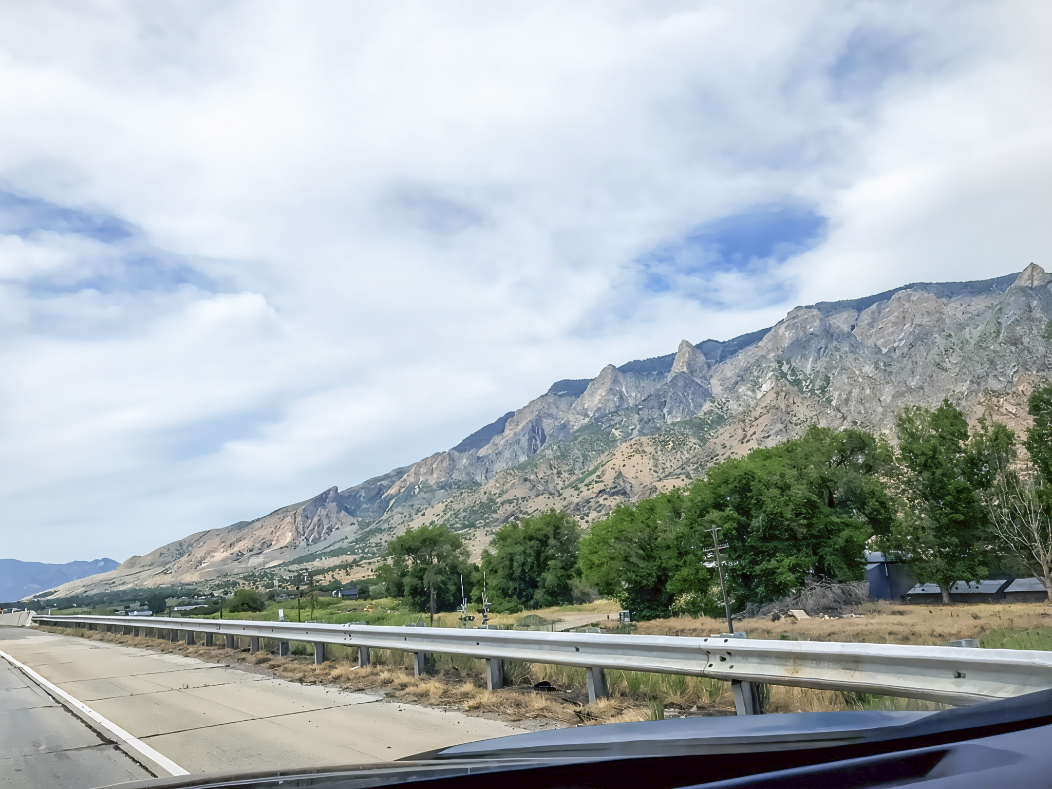

Traveling from the Ogden area of northern Utah to the rural community of Wayan in southeastern Idaho offers an opportunity to explore the landscapes of the American West, where towering mountains, agricultural valleys, and historic communities create a memorable road-trip experience. The journey begins near the Wasatch Range and continues north through the Cache Valley region toward Preston, Idaho, before following scenic highways toward Soda Springs and Wayan. Parts of this journey follow the Pioneer Historic Byway, a scenic route connecting communities and landscapes associated with the westward migration of American settlers. Travelers can experience the region’s rural character while discovering historic landmarks, mountain scenery, and outdoor recreation opportunities. According to Visit Idaho (n.d.), the Pioneer Historic Byway extends approximately 114 miles through southeastern Idaho, connecting attractions such as Red Rock Pass, historic Chesterfield, and Soda Springs.

One of the most fascinating aspects of this journey is its geological history. Northern Utah’s Wasatch Mountains are part of a region shaped by millions of years of tectonic activity, including crustal compression, faulting, uplift, and erosion. The Wasatch Fault, which extends along the western edge of the mountain range, has played an important role in creating the dramatic elevation differences between the mountains and neighboring valleys. Farther north, southeastern Idaho belongs to the Idaho-Wyoming-Utah fold-and-thrust belt, where ancient rock layers were compressed, folded, and pushed over one another during mountain-building events. Later crustal stretching produced additional faults and valleys throughout the region. According to the U.S. Geological Survey (2019), geological formations near Soda Springs preserve evidence of these processes, including folded sedimentary rocks and faults associated with the region’s continuing seismic activity. These features make the drive particularly interesting for travelers who enjoy understanding how Earth’s geological forces shape natural landscapes (Utah Geological Survey, n.d.).

The journey also provides opportunities to discover southeastern Idaho’s natural attractions and cultural history. Near Soda Springs, travelers can visit the Soda Springs Geyser, a human-controlled geothermal feature that releases a spectacular column of water reaching approximately 100 feet into the air. The nearby Hooper Springs Park is known for its naturally carbonated mineral water, a reminder of the area’s unusual groundwater chemistry. Historic Chesterfield, a preserved pioneer settlement, provides insight into agricultural life and the settlement of southeastern Idaho. The broader region also contains scenic valleys and mountain landscapes suitable for sightseeing, hiking, photography, and nature observation. Visitors traveling along Idaho State Highway 34 toward Wayan can experience a quieter side of the state, away from major urban centers. Because the region receives substantial snowfall, travelers should check highway conditions before visiting during colder months (Visit Idaho, n.d.).

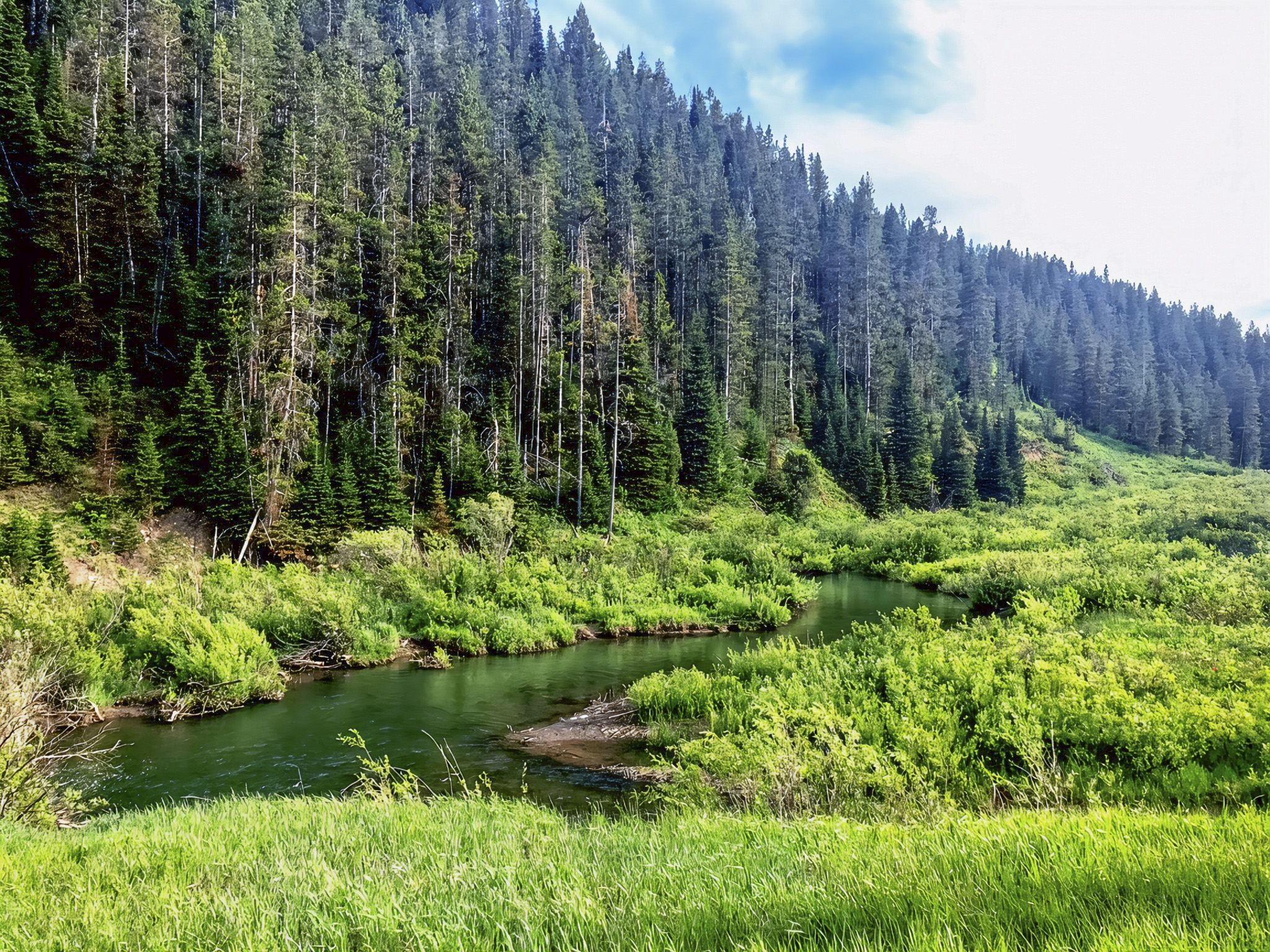
Biologically, the route passes through landscapes that support diverse plant communities and wildlife habitats. Lower elevations contain grasslands, sagebrush ecosystems, agricultural fields, and vegetation associated with streams and wetlands, while higher mountain slopes support conifer forests and other woodland communities. Southeastern Idaho’s Caribou-Targhee National Forest protects extensive natural landscapes that provide opportunities for hiking, wildlife observation, and ecological exploration. These habitats contribute to the region’s biological diversity and support wildlife associated with the northern Rocky Mountains. The relationship between geology and ecology is especially interesting because variations in elevation, soils, water availability, and climate influence where different plant and animal communities can survive. The transition from Utah’s mountain valleys to Idaho’s rural highlands therefore offers more than attractive scenery: it provides a chance to appreciate the connections among Earth’s geological history, natural ecosystems, and human settlement (U.S. Forest Service, n.d.).


References
U.S. Forest Service. (n.d.). Caribou-Targhee National Forest. U.S. Department of Agriculture. https://www.fs.usda.gov/detail/ctnf/about-forest/districts/?cid=stelprdb5167548
U.S. Geological Survey. (2019). M5.3 2017 Soda Springs, Idaho sequence. https://www.usgs.gov/programs/earthquake-hazards/science/m53-2017-soda-springs-idaho-sequence
Utah Geological Survey. (n.d.). Utah faults. Utah Department of Natural Resources. https://geology.utah.gov/hazards/earthquakes/utah-faults
Visit Idaho. (n.d.). Pioneer Historic Byway. https://visitidaho.org/things-to-do/atv-recreation-motorsports/pioneer-historic-byway
Visit Idaho. (n.d.). Explore southeastern Idaho: An unforgettable road trip itinerary. https://visitidaho.org/travel-tips/explore-southeastern-idaho-an-unforgettable-road-trip-itinerary
AI Disclosure Statement:
Artificial intelligence tools were used in the creation of this page, including elements such as writing, image enhancement/generation, voice enhancement, and/or editing support. All final creative decisions were made by the creator.

Leave a Reply