

Bryce Canyon National Park in southwestern Utah offers travelers a chance to explore the world’s largest concentration of hoodoos, the irregular rock pillars that make this high-elevation landscape so distinctive. Situated near the top of the Grand Staircase, the park combines dramatic geological scenery with forests, wildlife habitats, and exceptionally dark night skies. Sunrise Point, Sunset Point, Inspiration Point, and Bryce Point provide different perspectives across the Bryce Amphitheater, while Sunset Point is especially useful for discovering the Silent City’s crowded formations and the famous Thor’s Hammer. For science-lovers, the appeal extends beyond sightseeing: the park makes it possible to explore ancient environments, ongoing erosion, and living ecosystems within a relatively compact area (National Park Service [NPS], 2026a, 2026b).
For an easy introduction, visitors can walk the paved, approximately half-mile section of the Rim Trail between Sunset and Sunrise Points. Those seeking a closer encounter with the hoodoos can consider the Queen’s Garden–Navajo Combination Loop, a moderate route of approximately 2.9 miles with 625 feet of elevation gain. Rangers recommend descending through Queen’s Garden and returning uphill through an available section of the Navajo Loop. The seasonal free shuttle helps visitors reach these busy viewpoints without searching for parking. Because the main amphitheater rim sits around 8,000 feet above sea level, travelers should pace themselves, carry water, and prepare for cold conditions. Check current trail alerts before descending: snow, ice, rockfall, and maintenance can affect access, particularly through Wall Street (NPS, 2024).

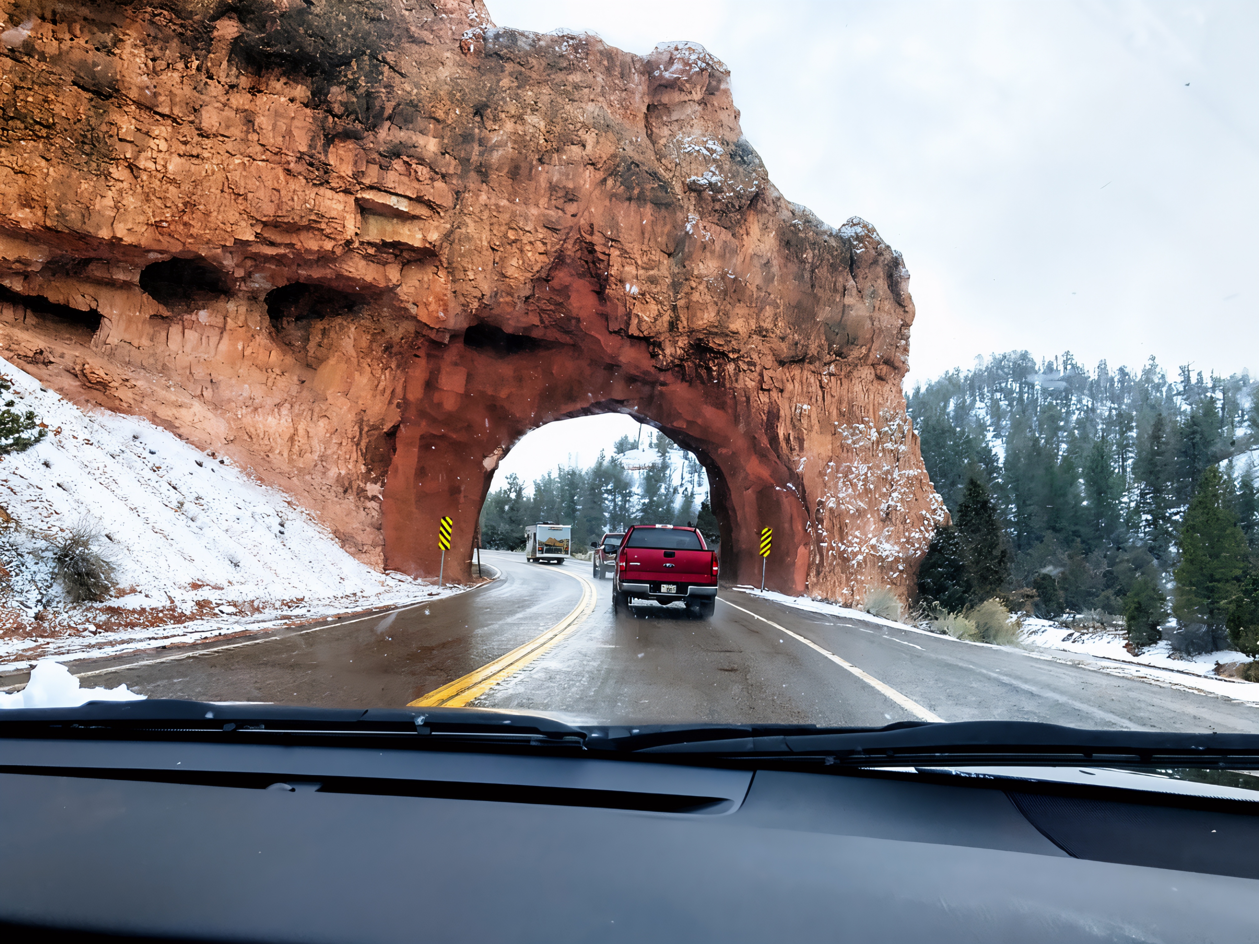
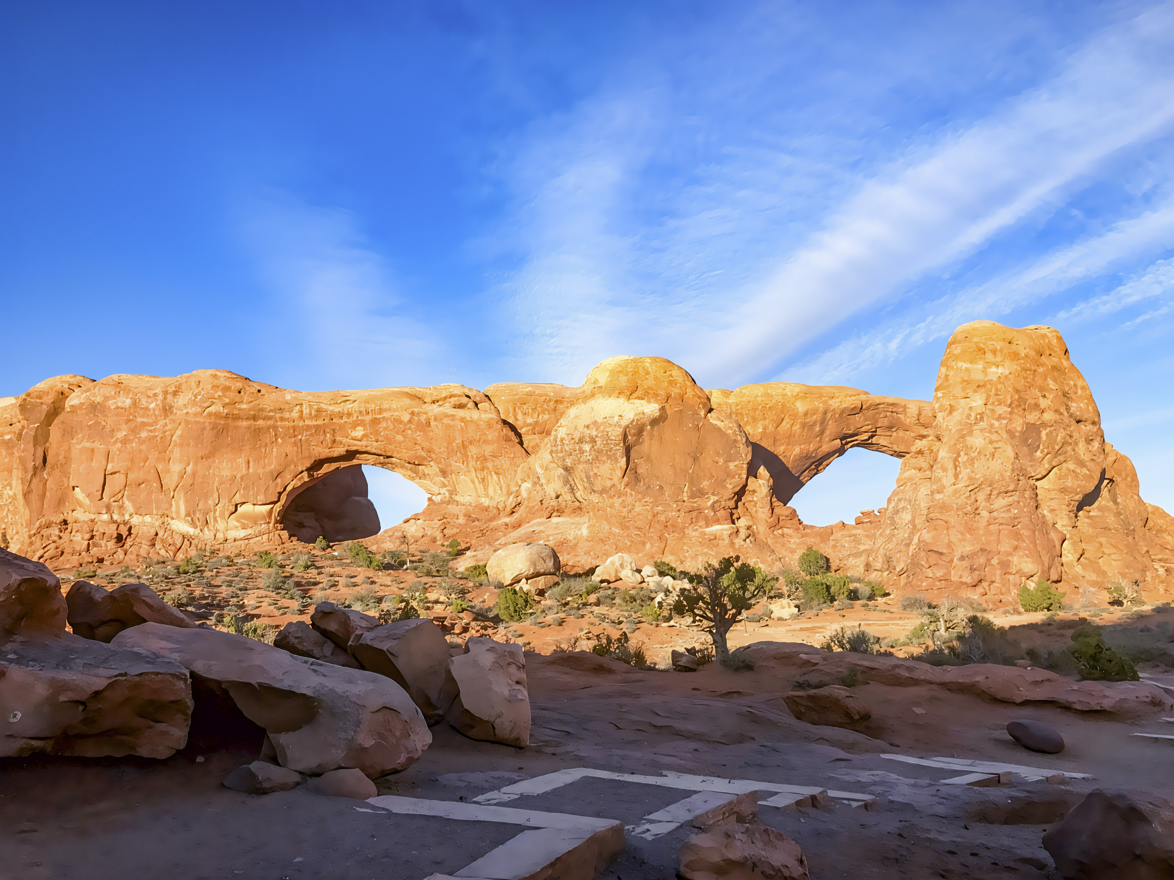
Bryce Canyon’s geological story began with sediments accumulating in ancient lakes and floodplains roughly 50 million years ago. These deposits became the layered rocks of the Claron Formation, which were subsequently raised to their present elevation. Water entering cracks expands when it freezes, gradually splitting the rock, while slightly acidic rainwater dissolves calcium carbonate. Together, weathering and erosion transform rock walls into windows and eventually isolated hoodoos; iron oxide minerals contribute many of their warm colors (NPS, 2021, 2026b). Recent research underscores that this landscape remains active. A 2026 Utah Geological Survey investigation covering the park and nearby communities documented geological hazards, including rockfall along trails below the rim, and mapped displacement of geologically young deposits along the Paunsaugunt fault. These findings help guide planning and reinforce the importance of respecting closures and avoiding prolonged stops beneath unstable formations (Utah Geological Survey, 2026).
The park’s biology is equally varied: its cooler, wetter highlands support plant communities that contrast with the surrounding dry lowlands. Sagebrush meadows, ponderosa pine forests, and higher-elevation conifer communities provide habitat for animals including elk, pronghorn, peregrine falcons, and migratory hummingbirds (NPS, 2023, 2026c). Recent ecological research adds another reason to look closely at these habitats. In a research update published in 2025, the National Park Service described a satellite-based analysis of 15 vegetation groups in and around Bryce Canyon. Across the study period, the growing season lengthened by roughly ten days on average, although annual vegetation production remained mostly stable. Different communities responded differently to water availability, and future drying could change which plants persist. The findings can help managers select restoration sites and plant communities suited to changing conditions, connecting the landscape visitors enjoy with the science needed to conserve it (NPS, 2025).


References
- National Park Service. (2021). Hoodoos. https://www.nps.gov/brca/learn/nature/hoodoos.htm
- National Park Service. (2023). Plants. https://www.nps.gov/brca/learn/nature/plants.htm
- National Park Service. (2024). Queens Garden & Navajo combination. https://www.nps.gov/brca/planyourvisit/qgnavajocombo.htm
- National Park Service. (2025). Helping managers plan for climate change with remote sensing at Bryce Canyon National Park. https://www.nps.gov/articles/000/ncpn_remote-sensing-and-climate-change-at-bryce-canyon-np.htm
- National Park Service. (2026a). Bryce Canyon National Park. https://www.nps.gov/brca/index.htm
- National Park Service. (2026b). Sunset Point. https://www.nps.gov/places/000/sunset-point.htm
- National Park Service. (2026c). Wildlife. https://www.nps.gov/brca/learn/nature/wildlife.htm
- Utah Geological Survey. (2026). Utah Geological Survey releases geologic hazard studies for Bryce Canyon and Cedar Valley. https://geology.utah.gov/utah-geological-survey-releases-geologic-hazard-studies-for-bryce-canyon-and-cedar-valley
AI Disclosure Statement:
Artificial intelligence tools were used in the creation of this page, including elements such as writing, image enhancement/generation, voice enhancement, and/or editing support. All final creative decisions were made by the creator.

Leave a Reply