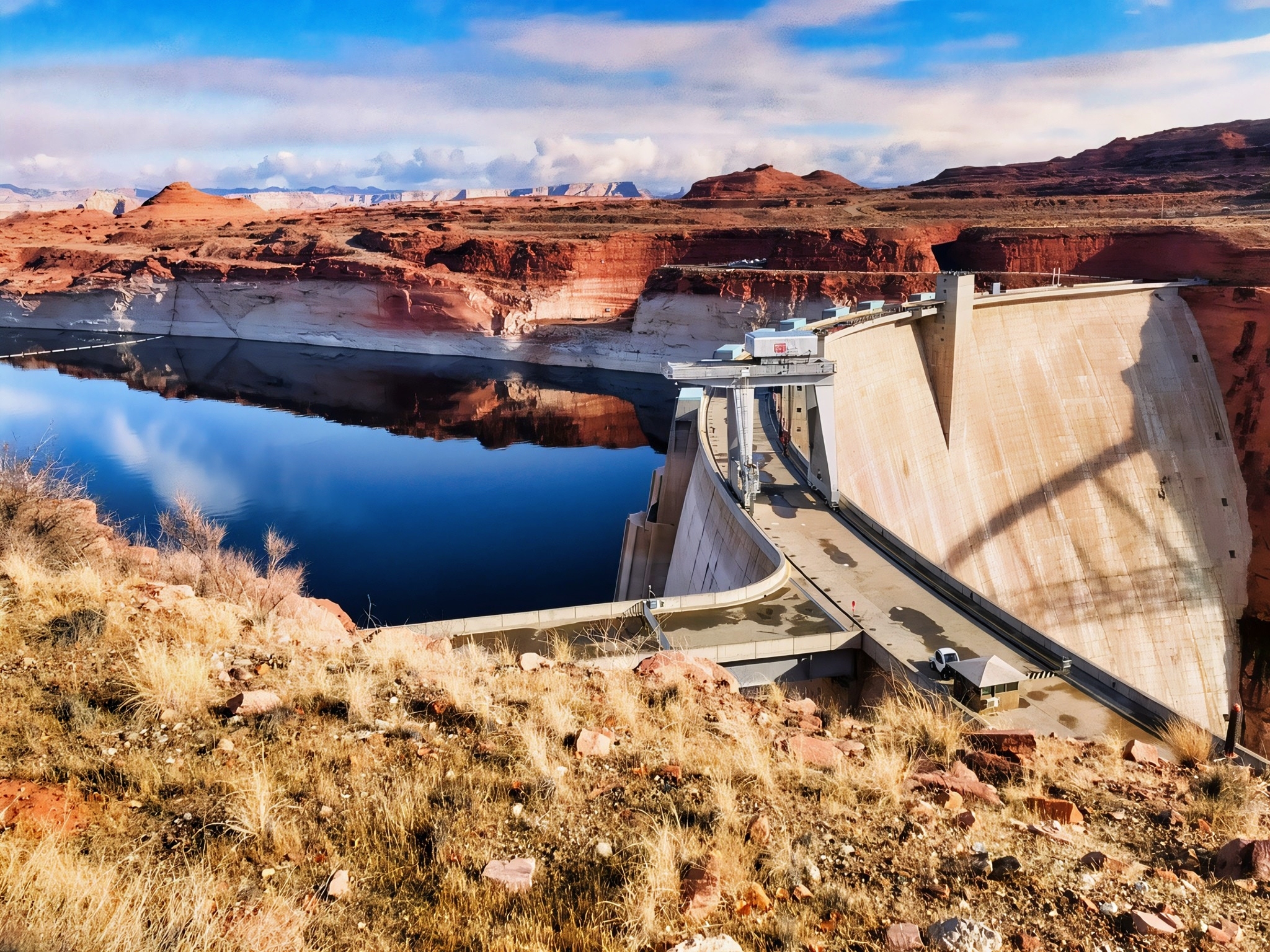

Glen Canyon Dam rises dramatically from the Colorado River just outside Page, Arizona, forming Lake Powell and serving as one of the major water-storage and hydroelectric facilities of the Colorado River system. The concrete arch dam stands 710 feet high and stretches about 1,560 feet across the canyon, while its reservoir stores water used throughout the Colorado River Basin. For travelers, one of the easiest places to learn about the structure is the Carl Hayden Visitor Center on U.S. Highway 89, where large windows overlook the dam, powerplant, Glen Canyon Bridge, Lake Powell, and the river far below. The surrounding scenery is especially striking because the blue-green water contrasts sharply with the immense red and tan sandstone cliffs of the Colorado Plateau. As of 2026, the visitor center remains open to the public, although tours inside Glen Canyon Dam are currently closed (National Park Service [NPS], 2026a; U.S. Bureau of Reclamation [Reclamation], 2026a).
The dam is also closely connected with the modern history of northern Arizona. Congress authorized the Colorado River Storage Project in 1956, and construction of Glen Canyon Dam helped create the nearby community of Page as a settlement for workers and their families. The Colorado River was diverted through tunnels during construction, concrete placement began in 1960, and Lake Powell began filling in 1963. The powerplant produced its first hydroelectricity in 1964, and First Lady Lady Bird Johnson formally dedicated the dam in 1966. The project was intended to store Colorado River water, help the Upper Basin meet downstream water-delivery obligations, generate electricity, provide flood-control benefits, and support recreation. Its construction also permanently transformed Glen Canyon: numerous side canyons, archaeological sites, and stretches of the former river landscape were submerged beneath Lake Powell, making the dam both an engineering landmark and a continuing subject of environmental and cultural discussion (Reclamation, n.d.-a).

For geology lovers, the setting explains much of the dam’s visual appeal. The canyon walls at the dam site consist primarily of Navajo Sandstone, a massive, cross-bedded rock unit formed largely from ancient wind-blown sand dunes during the Jurassic Period. Its sweeping cross-beds preserve the shapes and movement of an enormous prehistoric desert, while millions of years of uplift and erosion allowed the Colorado River to cut deeply into these sedimentary rocks. The broader Glen Canyon region preserves hundreds of millions of years of sedimentary history across the Colorado Plateau, with sandstone and mudstone layers recording former deserts, rivers, floodplains, and shallow seas. Today, these cliffs provide habitat for desert-adapted plants and wildlife, while Lake Powell and the regulated Colorado River have created aquatic and riparian habitats that differ greatly from those that existed before the dam. More than 300 bird species have been documented around Glen Canyon, including eagles, waterbirds, and the California condor, while mammals, bats, reptiles, amphibians, and both native and introduced fishes occur throughout the recreation area (NPS, 2026b; Reclamation, n.d.-b; U.S. Geological Survey [USGS], 2013).
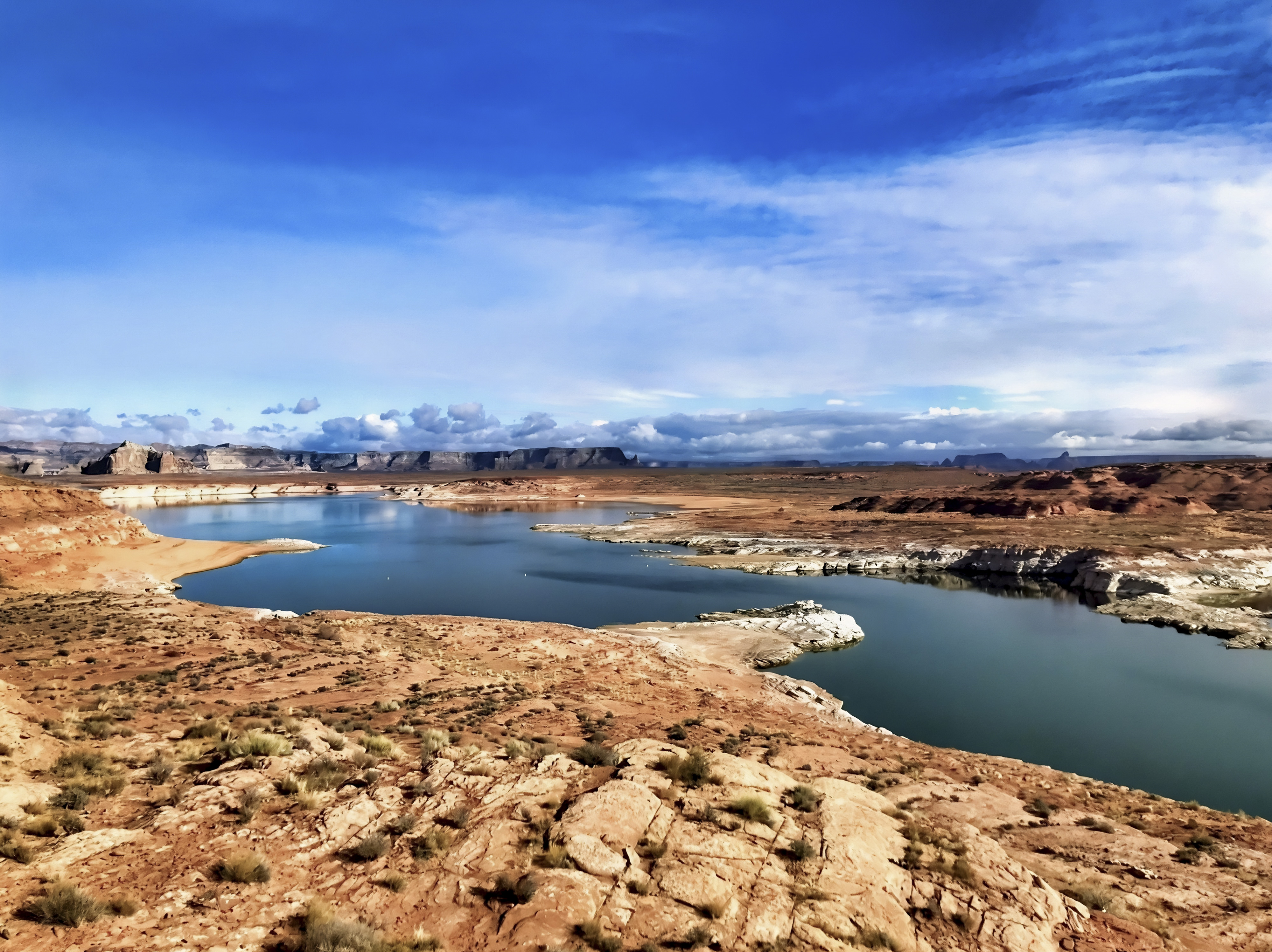
The most important recent news about Glen Canyon Dam concerns very low Colorado River flows and Lake Powell’s declining water level. Reclamation reported in September 2026 that Lake Powell ended August at about 3,517.9 feet elevation and only 22% of live storage capacity, while projected unregulated inflow for water year 2026 was only about 37% of average. New federal operating guidelines have therefore been adopted for Lake Powell and Lake Mead for 2027–2028 as part of a broader framework extending through 2036, with protection of critical dam infrastructure becoming an important operating consideration at low reservoir elevations (Reclamation, 2026b, 2026c). Ecological research is progressing at the same time: a 2026 USGS study reported a major increase and geographic expansion of endangered humpback chub populations in the western Grand Canyon downstream of Glen Canyon Dam, illustrating how scientists continue to study the complicated interactions among dam releases, water temperature, invasive species, sediment, and native fish conservation (USGS, 2026). For science-minded travelers, Glen Canyon Dam is therefore much more than a scenic stop—it is a living laboratory where geology, engineering, climate, river ecology, energy production, and Western water management intersect.


References:
National Park Service. (2026a). Visitor centers: Glen Canyon National Recreation Area. National Park Service — Visitor Centers
National Park Service. (2026b). Animals: Glen Canyon National Recreation Area. National Park Service — Animals of Glen Canyon
U.S. Bureau of Reclamation. (n.d.-a). Glen Canyon Dam: History and Colorado River Storage Project. Bureau of Reclamation — Glen Canyon Dam
U.S. Bureau of Reclamation. (n.d.-b). Glen Canyon Dam: Projects and facilities. Bureau of Reclamation — Dam Specifications and Geology
U.S. Bureau of Reclamation. (2026b). Glen Canyon Dam water operations. Bureau of Reclamation — Current Glen Canyon Dam Operations
U.S. Bureau of Reclamation. (2026c). Future Colorado River operations—Decision documents. Bureau of Reclamation — Post-2026 Colorado River Operations
U.S. Geological Survey. (2013). Geologic map of the Glen Canyon Dam 30′ × 60′ quadrangle, Coconino County, northern Arizona. USGS — Glen Canyon Dam Geologic Map
U.S. Geological Survey. (2026). Integrating mark-recapture, catch, and expert habitat assessments to quantify recent increases in humpback chub abundance over a 200 km long river segment of the Colorado River in western Grand Canyon.
AI Disclosure Statement:
Artificial intelligence tools were used in the creation of this page, including elements such as writing, image enhancement, voice enhancement, and/or editing support. All final creative decisions were made by the creator.

Leave a Reply