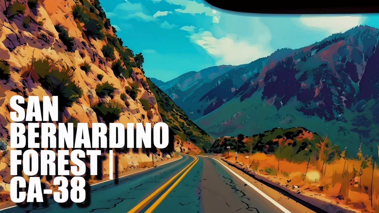
Driving from Big Bear to Mentone on California State Route 38 offers a dramatic transition from a high-elevation mountain basin to the warmer foothills of the Inland Empire. The highway passes through the San Bernardino National Forest, winding among pine and fir forests, broad meadows, rocky slopes, and views toward the San Gorgonio Wilderness. Science-minded travelers can observe how vegetation changes with elevation and moisture: dense conifer forest dominates the cooler uplands, while oak woodland and chaparral become increasingly common during the descent. The Big Bear area also exposes a geologically complex landscape composed of ancient metamorphic rocks, Cretaceous granitic bodies, and numerous faults shaped by Southern California’s active tectonic setting (Miller & Cossette, 2004; U.S. Forest Service, n.d.-a).
Possible stops include the Barton Flats–San Gorgonio Recreation Area, Jenks Lake, trails near the Santa Ana River, and the Mountain Home Village Scenic Overlook, which provides views of the San Gorgonio Wilderness, Sand to Snow National Monument, Yucaipa Ridge, and Mill Creek Canyon. Jenks Lake is a pleasant detour for picnicking, fishing, and a short nature walk, while Barton Flats provides access to campgrounds and hiking routes beneath some of Southern California’s highest mountains (U.S. Forest Service, n.d.-a, n.d.-b). Beyond Angelus Oaks, CA-38 becomes a long, curving descent through Mill Creek Canyon before reaching Mountain Home Village and Mentone. Drivers should use lower gears on sustained downhill sections, allow faster vehicles to pass only at designated turnouts, and check Caltrans for closures, construction, snow, or chain requirements before departure (California Department of Transportation, 2026).
References:
California Department of Transportation. (2026). California highway conditions: State Route 38. https://roads.dot.ca.gov/?roadnumber=38
Miller, F. K., & Cossette, P. M. (2004). Preliminary geologic map of the Big Bear City 7.5′ quadrangle, San Bernardino County, California. U.S. Geological Survey. https://doi.org/10.3133/ofr20041193
U.S. Forest Service. (n.d.-a). Barton Flats–San Gorgonio Recreation Area. https://www.fs.usda.gov/visit/destinations
U.S. Forest Service. (n.d.-b). Hiking trails: San Bernardino National Forest. https://www.fs.usda.gov/Internet/FSE_DOCUMENTS/stelprdb5402322.pdf
AI Disclosure Statement:
Artificial intelligence tools were used in the creation of this page, including elements such as writing, image enhancement, voice enhancement, and/or editing support. All final creative decisions were made by the creator.

Leave a Reply