

The San Bernardino Mountains rise dramatically above Southern California’s Inland Empire, forming a forested “sky island” between the coastal valleys and the Mojave Desert. The range includes 11,503-foot San Gorgonio Mountain—the highest peak in Southern California—as well as pine forests, alpine meadows, lakes, and habitats that change noticeably with elevation (National Park Service [NPS], 2026). Popular destinations such as Lake Arrowhead, Big Bear Lake, and the San Gorgonio Wilderness offer hiking, camping, wildlife watching, fishing, and winter recreation.
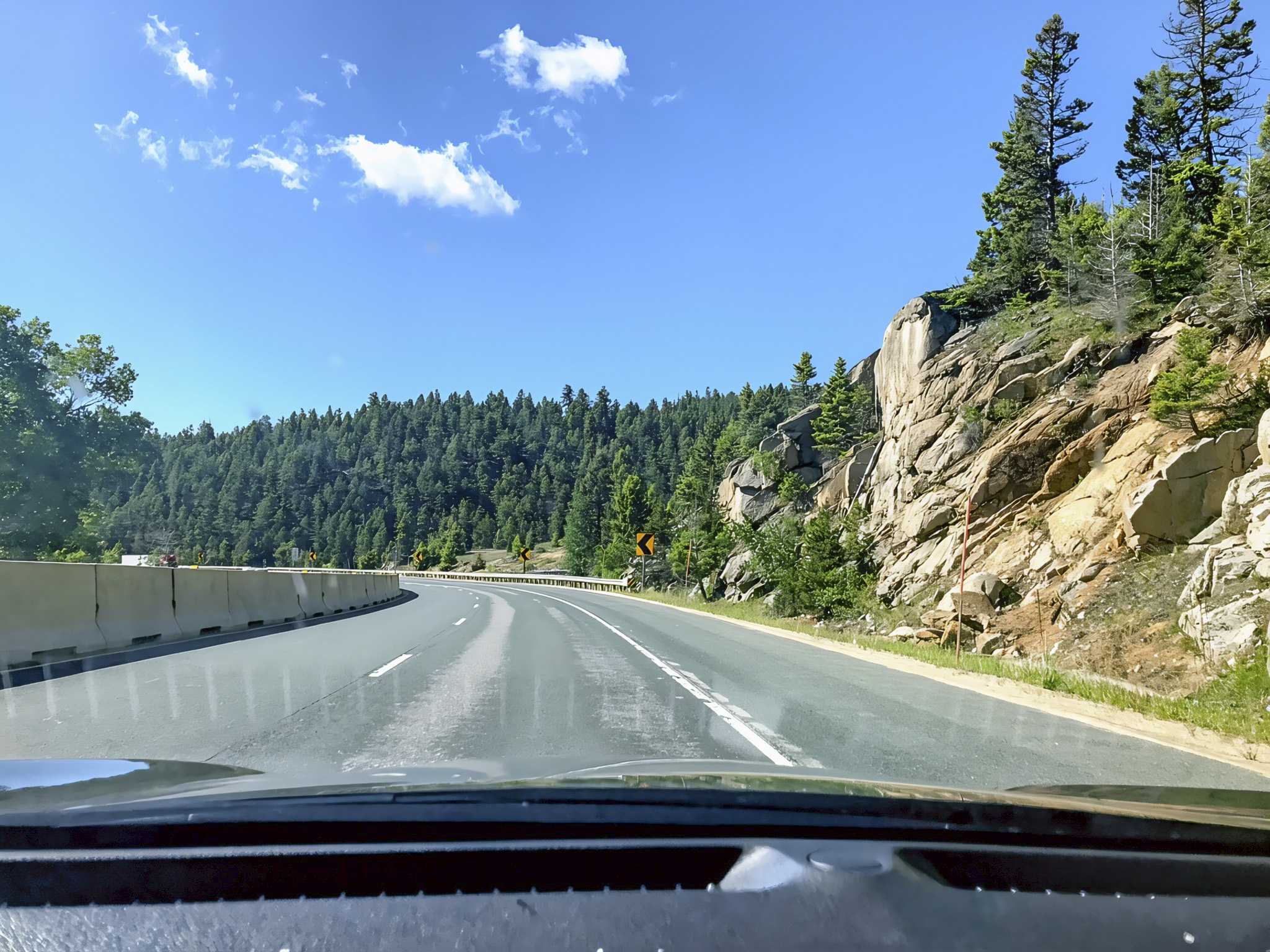
One of the best ways to explore the range is the Rim of the World Scenic Byway, a 110-mile mountain route extending from Cajon Pass to San Gorgonio Pass. The drive follows portions of California Highways 18, 38, and 138, providing expansive views of forests, mountain communities, Silverwood Lake, and the valleys and desert basins far below (U.S. Forest Service [USFS], 2026). Travelers should stop only at designated overlooks and check weather, wildfire, and road conditions before leaving because snow, fog, rockfalls, and mountain storms can quickly affect the highways.

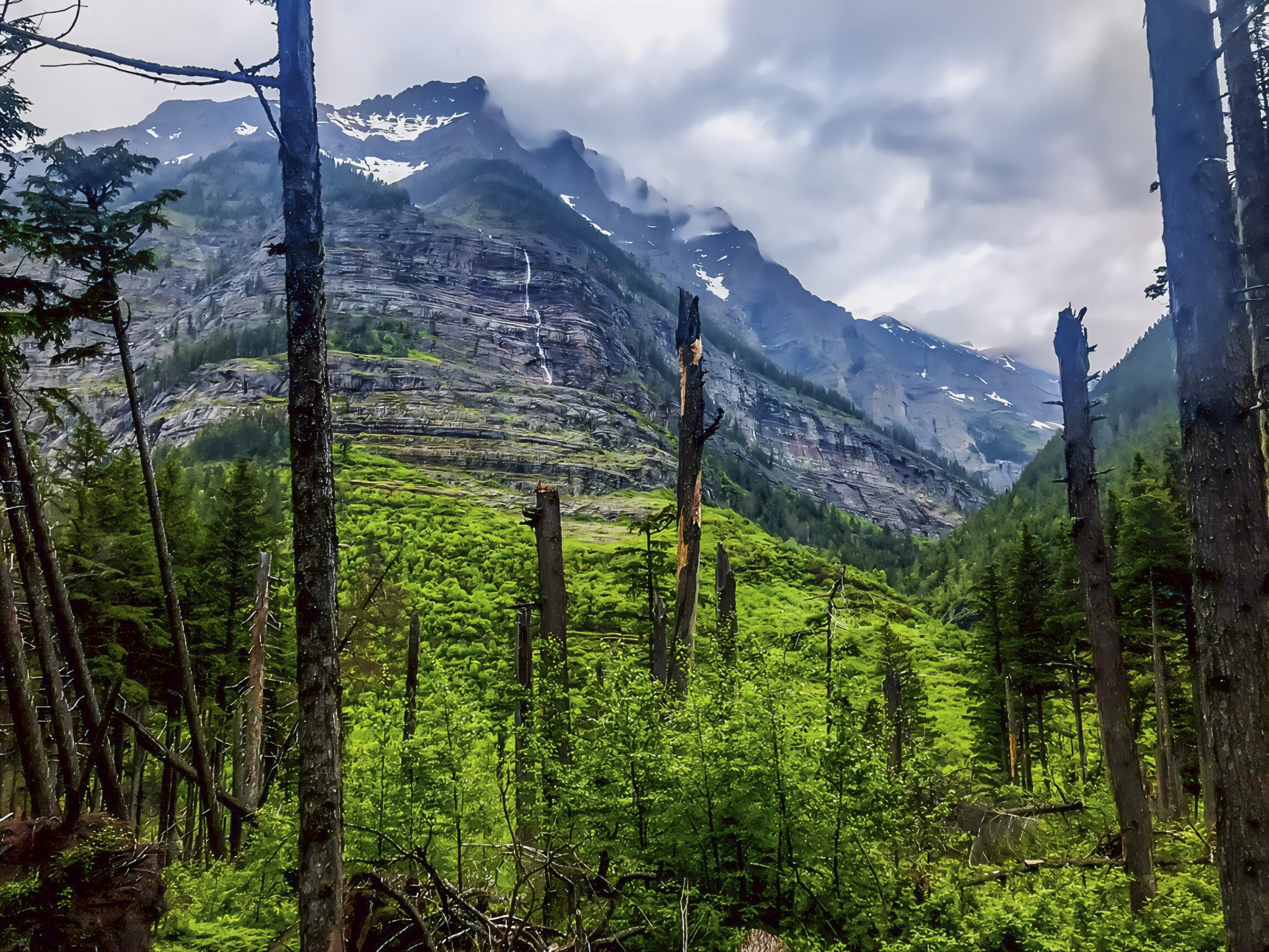
For science lovers, these mountains are a natural laboratory where geology, climate, air pollution, wildfire, and biodiversity interact. Their steep elevation gradient creates habitats ranging from chaparral and oak woodland to mixed-conifer forest and high-elevation wilderness, but research has documented substantial declines in Southern California’s montane forest canopy due largely to wildfire, drought, and climate-related stress (University of California, Irvine [UCI], 2022). This makes the landscape especially valuable for observing how plants and animals respond to environmental change.
Among the latest place-specific research, a 2024 University of Redlands study examined the hydrology of five meadows in the San Bernardino National Forest at different levels of degradation. The research helps explain how water moves through these sensitive ecosystems and can guide meadow restoration—important because healthy mountain meadows store water, support wildlife, and may improve resilience to drought and wildfire (Dulebohn, 2024). For visitors, this research is a reminder to remain on established trails and avoid trampling wet meadows, allowing these living mountain laboratories to recover and continue supporting biodiversity.
Sources: U.S. Forest Service—Rim of the World Scenic Byway, National Park Service—San Gorgonio elevation, UC Irvine—Southern California forest research, and University of Redlands—Meadow Hydrology study.


AI Disclosure Statement:
Artificial intelligence tools were used in the creation of this page, including elements such as writing, image enhancement/generation, voice enhancement, and/or editing support. All final creative decisions were made by the creator.


Leave a Reply