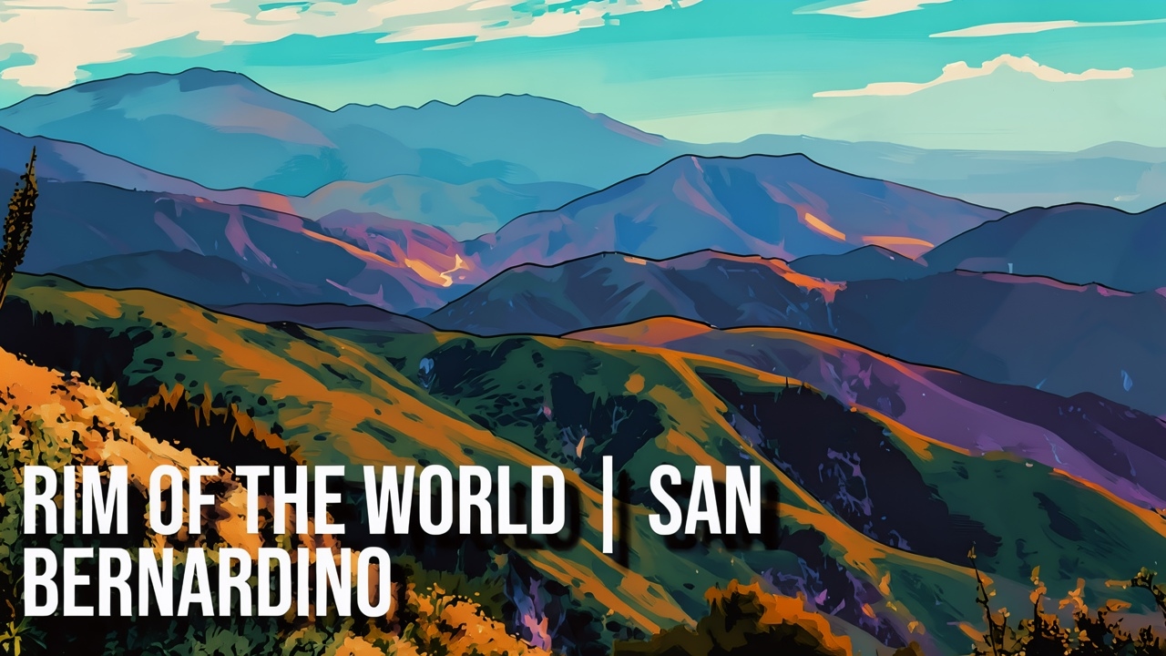
Driving north on CA-18 from San Bernardino into the San Bernardino Mountains, the scenery changes quickly as the highway begins climbing through Waterman Canyon. The busy streets and neighborhoods of the Inland Empire gradually fall away, replaced by steep mountain slopes, rocky canyon walls, dry chaparral, and scattered oak trees. The road follows a series of sweeping curves as it gains elevation, revealing new views around almost every bend. In some areas, the highway passes beside exposed rock cuts, while in others the terrain drops sharply into the canyon below. This transition from the valley floor into the mountains is one of the most dramatic features of the drive and provides travelers with an impressive introduction to the rugged landscape of the San Bernardino Mountains.
As the highway climbs higher, the views become broader and more panoramic. Looking back toward the lowlands, San Bernardino and the Inland Empire appear increasingly distant beneath the steep mountain slopes. The vegetation also begins to change with elevation, gradually shifting from the drier foothill environment toward cooler mountain habitats with more trees along the slopes and ridgelines. Sections of the winding highway can sometimes be seen below, emphasizing how rapidly CA-18 climbs along the southern side of the mountains. The changing vegetation, rugged terrain, and distant valley views make the drive feel increasingly removed from the urban landscape below.
Approaching the higher viewpoints, the scenery becomes especially expansive. Deep canyons, rocky ridges, patches of forest, and distant communities combine into a broad Southern California panorama. On clear days, views can extend far across the Inland Empire while the mountains rise sharply around the roadway. This stretch of CA-18 provides access to the larger Rim of the World Scenic Byway, a mountain route known for panoramic views and its passage through the varied landscapes of the San Bernardino Mountains. For travelers heading toward the mountain communities, the drive is more than simply a route to higher elevations—it is a scenic journey through changing geology, vegetation, elevation, and some of the most impressive mountain scenery overlooking Southern California’s inland valleys.
References:
U.S. Department of Agriculture, Forest Service. San Bernardino National Forest Visitor Guide.
https://www.fs.usda.gov/sites/nfs/files/legacy-media/sanbernardino/2022%20San%20Bernardino%20National%20Forest%20Visitor%20Guide%20-%20English.pdf
Visit California. Rim of the World Scenic Byway.
https://www.visitcalifornia.com/road-trips/rim-world-scenic-byway/
Visit California. San Bernardino.
https://www.visitcalifornia.com/places-to-visit/san-bernardino/
Please drive carefully and obey the speed limit.
AI Disclosure Statement:
Artificial intelligence tools were used in the creation of this page, including elements such as writing, image enhancement, voice enhancement, and/or editing support. All final creative decisions were made by the creator.

Leave a Reply