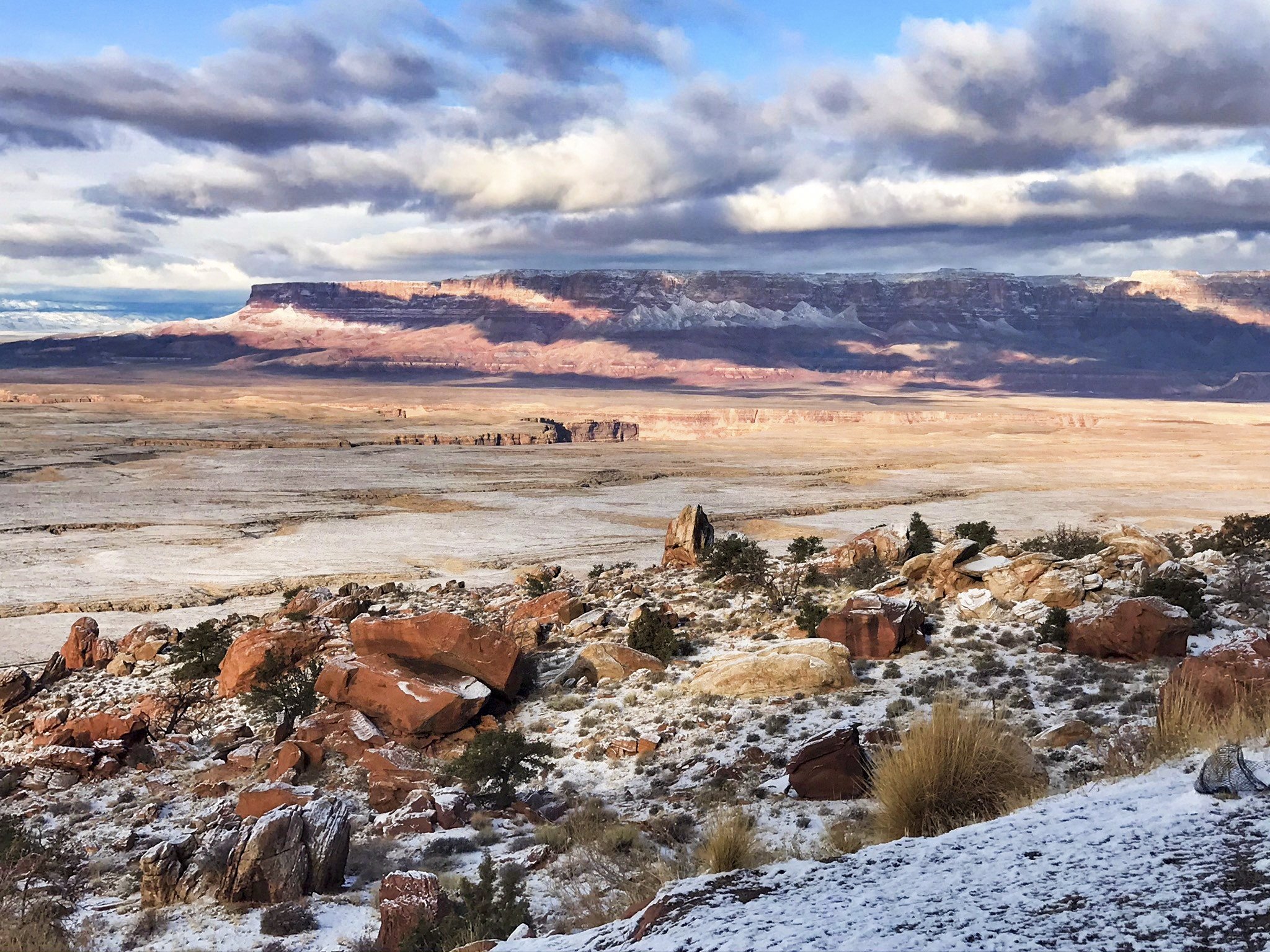

Antelope Pass Vista is an informal roadside stop along U.S. Route 89 north of Bitter Springs, Arizona, on the Navajo Nation. From this elevated section of highway, travelers can look across the Marble Platform and Marble Canyon region toward the Vermilion Cliffs and the higher Kaibab Plateau. The stop is part of the scenic route between Flagstaff and Page and provides an excellent introduction to the remote Colorado Plateau landscape. The nearby Vermilion Cliffs National Monument protects approximately 280,000 acres of cliffs, canyons, desert plateaus, and wilderness ranging from about 3,100 to 7,100 feet in elevation (Bureau of Land Management [BLM], n.d.).
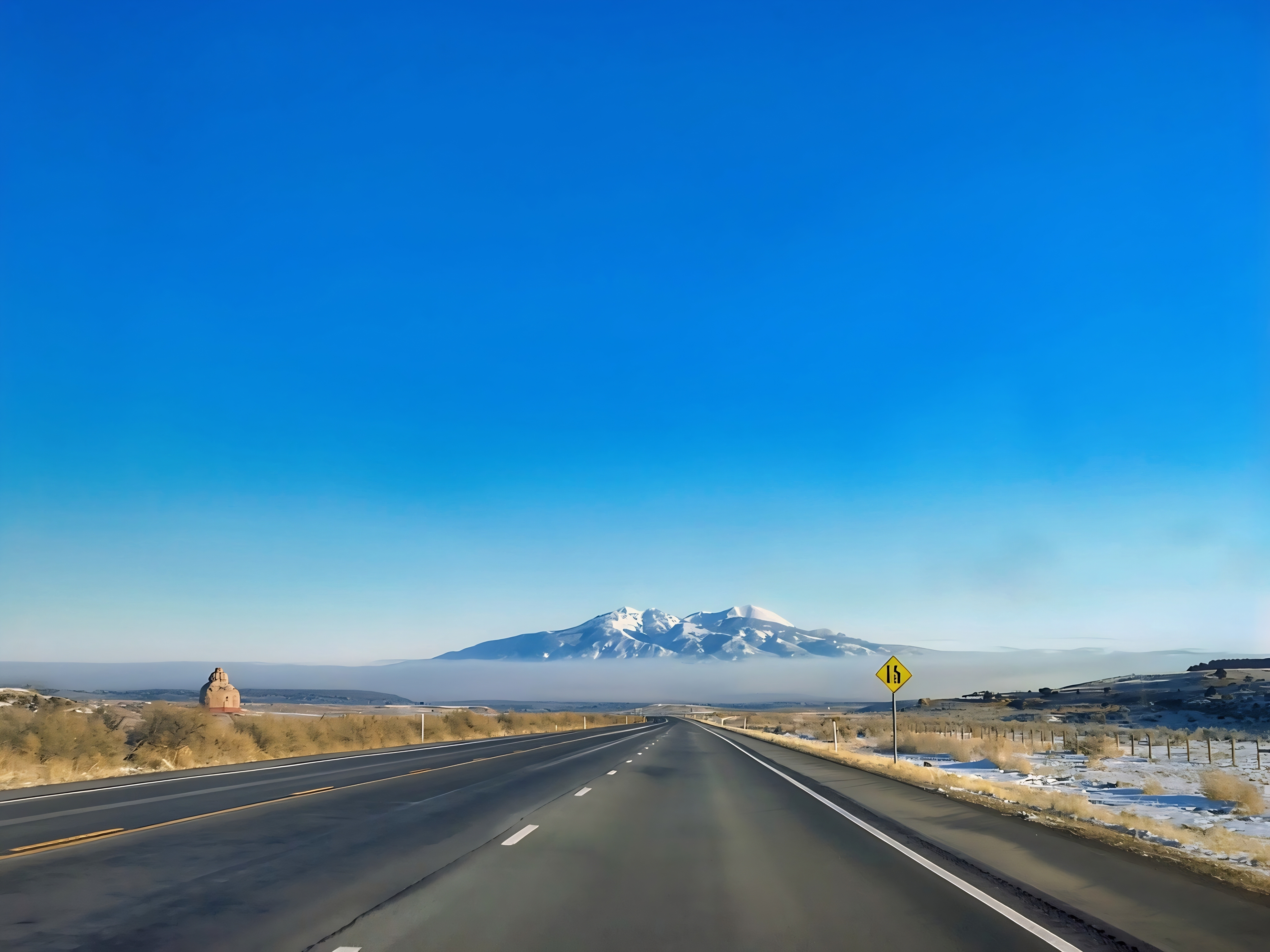
The drive through Antelope Pass includes steep grades, sharp curves, narrow rock cuts, broad desert valleys, and rapidly changing views of layered cliffs and mesas. Travelers should pull completely away from the traffic lanes, use only safe and legal roadside areas, and avoid crossing fences or entering posted land. Conditions can change dramatically with elevation: summer brings intense heat and limited shade, while winter storms can produce snow, ice, wind, and reduced visibility. Visitors should carry water, check weather and highway conditions, and remember that fuel, food, restrooms, and emergency services are limited outside Bitter Springs and Page; the BLM similarly advises travelers in this region to prepare for extreme temperatures, flash floods, deep sand, and long distances between services (BLM, n.d.).

Geologically, Antelope Pass crosses the Echo Cliffs, the western escarpment of the Kaibito Plateau, where erosion has exposed thick sequences of sandstone, siltstone, shale, and other sedimentary rocks of the Colorado Plateau. These layers preserve evidence of ancient deserts, river systems, floodplains, and shallow seas that occupied the region over millions of years. Iron-bearing minerals produce many of the red and orange colors, while differences in rock hardness create cliffs, benches, spires, talus slopes, and isolated mesas. Farther west, the Colorado River and its tributaries continue to cut through the elevated plateau, producing the Marble Canyon landscape and revealing an even longer record of regional geologic history (BLM, n.d.).

Although the country appears barren, it supports Great Basin desert scrub, grasslands, springs, and scattered conifer woodlands. Wildlife may include canyon wrens, white-throated swifts, prairie and peregrine falcons, golden eagles, bats, woodrats, kangaroo rats, reptiles, and the endangered California condor; Marble Canyon and the Vermilion Cliffs form an important foraging and roosting corridor for the condor population (Arizona Game and Fish Department [AZGFD], n.d.). Recent conservation science offers encouraging news: a study of an H5N1 avian-influenza vaccine found no adverse effects in vaccinated condors, and 80% developed antibody responses within a range associated with survival in vaccinated chickens, helping support a condor vaccination program (Katzner et al., 2025). Recovery work also continues through captive breeding and releases at Vermilion Cliffs, although lead exposure, disease, power lines, habitat disturbance, and invasive plants remain important threats (BLM, 2025; National Park Service [NPS], 2026).


References:
Arizona Game and Fish Department. (n.d.). Marble Canyon and Vermilion Cliffs conservation opportunity area.
Bureau of Land Management. (n.d.). Vermilion Cliffs National Monument.
Bureau of Land Management. (2025). California condor release at Vermilion Cliffs National Monument.
Katzner, T. E., Blackford, A. V., Donahue, M., et al. (2025). Safety and immunogenicity of poultry vaccine for protecting critically endangered avian species against highly pathogenic avian influenza virus, United States. Emerging Infectious Diseases, 31(6), 1131–1139. https://doi.org/10.3201/eid3106.241558
National Park Service. (2026). California condors in Glen Canyon National Recreation Area
AI Disclosure Statement:
Artificial intelligence tools were used in the creation of this page, including elements such as writing, image enhancement, voice enhancement, and/or editing support. All final creative decisions were made by the creator.

Leave a Reply