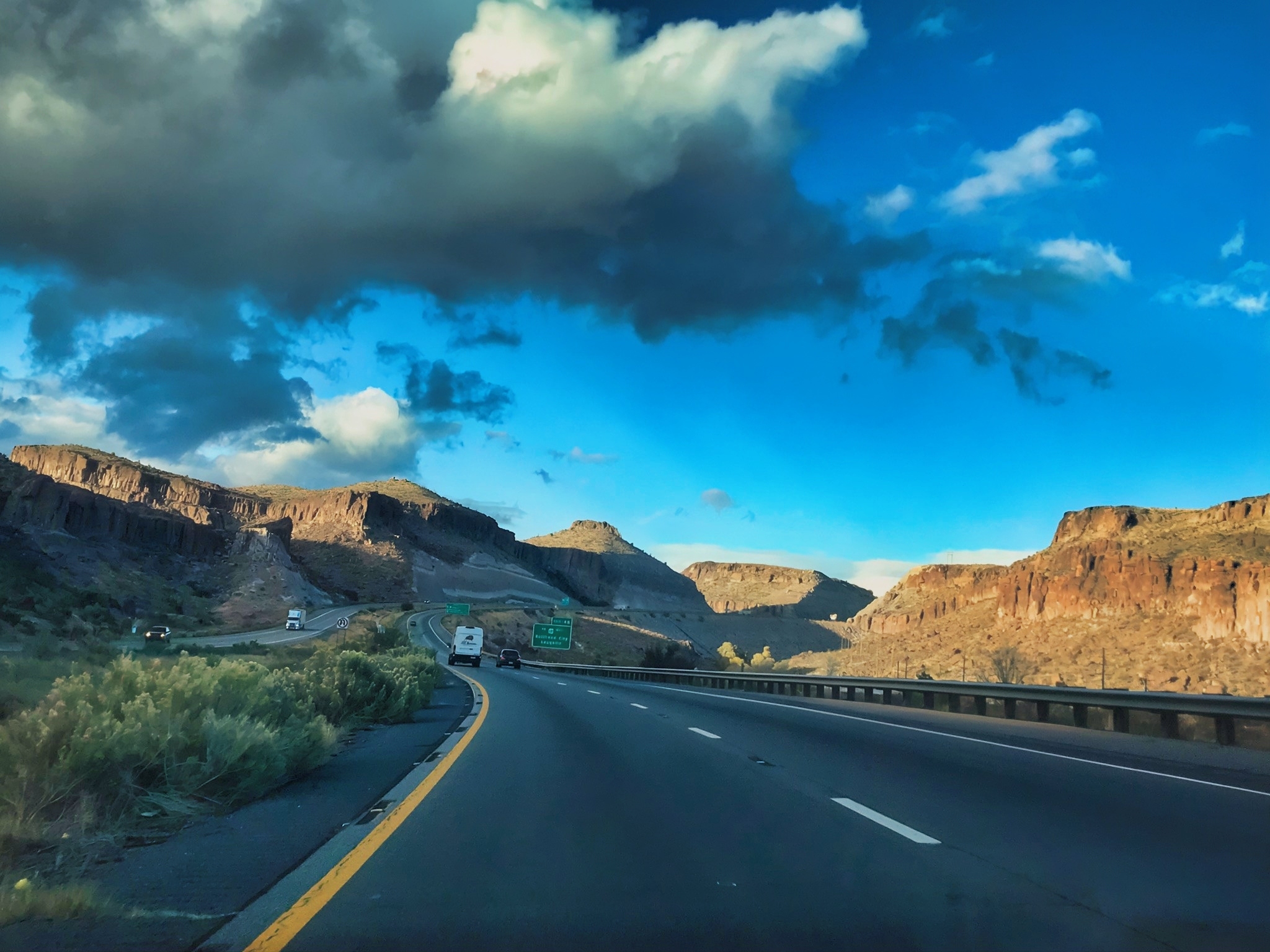

Driving east from Barstow on Interstate 40, travelers pass through the vast Mojave Desert, where broad valleys, dry lakebeds, rugged volcanic mountains, and sparse communities create a striking sense of openness. The highway roughly parallels historic Route 66 through places such as Newberry Springs, Ludlow, and Needles, crossing a landscape that remains largely undeveloped and retains much of its early highway-era character; near Mojave National Preserve, distant granite peaks and desert vegetation—including creosote bushes, cacti, and Joshua trees—add variety to the scenery (Bureau of Land Management [BLM], n.d.; National Park Service [NPS], n.d.).
Near Needles, the route reaches the green corridor of the Colorado River before crossing into Arizona at Topock, a refreshing contrast to the surrounding arid terrain. I-40 then climbs through open valleys and increasingly rugged country toward Kingman, with views of the Black, Hualapai, and Cerbat mountains; the higher terrain near Kingman also supports grasslands and, on nearby peaks, ponderosa-pine forests (BLM, 2026). Overall, the drive offers a memorable transition from California’s wide desert basins to the rockier, higher-elevation landscapes of northwestern Arizona.
References:
Bureau of Land Management. (n.d.). California Historic Route 66: Needles to Barstow Scenic Byway.
Bureau of Land Management. (2026). Explore Arizona’s public lands on BLM-managed trails, OHV areas, rivers and more.
National Park Service. (n.d.). Nature—Mojave National Preserve.


AI Disclosure Statement:
Artificial intelligence tools were used in the creation of this page, including elements such as writing, image enhancement, voice enhancement, and/or editing support. All final creative decisions were made by the creator.

Leave a Reply